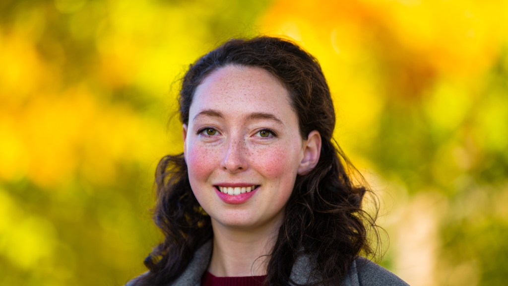
Computer science PhD candidate Kate Salesin, Guarini, was recently awarded the Future Investigators in NASA Earth and Space Science Technology (FINESST) grant. Her adviser, Wojciech Jarosz, associate professor of computer science, will be principal investigator on the grant, which provides funding for research projects designed and implemented by graduate students that contribute to NASA's science, technology and exploration goals.
As a FINESST Future Investigator, Salesin will adapt computational models employed in the computer graphics community to push the boundaries of image analysis from satellite data and deepen our understanding of the Earth as a system.
Advanced software tools are used to convert satellite measurements of light scattered from the atmosphere and ocean into physical parameters that enable earth science experts to address questions about the Earth's atmospheric composition, weather, ecosystems and biogeochemical cycles, and water quality. Future satellite missions will carry increasingly sophisticated instruments able to capture more wavelengths, viewing angles, and polarization data than ever before, which will require more sophisticated software techniques to interpret the data in a timely manner.
To computationally model how light scatters off the Earth, NASA typically uses a class of techniques that are accurate and fast, but which sacrifice realism, for instance by assuming the atmosphere or ocean is composed of flat homogeneous layers, Salesin writes in her grant proposal.
The computer graphics community has historically made similar simplifications for the sake of efficiency. More recently, however, it has adopted so-called Monte Carlo techniques, which are more general but also more computationally expensive.
"This bet has paid off, leading to the rapidly improved realism and complexity of computer-generated visual effects over the last couple decades," says FINESST PI Jarosz.
The goal of Salesin's work is to carry over the advancements from computer graphics to the scientific community in order to model more realistic scenarios with sufficient accuracy, complexity, and speed for retrieval of atmosphere and ocean parameters by NASA's next generation of satellites and instruments.
The most exciting part of this project has been acting as a bridge or a "translator" between the computer graphics and remote sensing communities, which have been working on highly related scientific problems for decades but with little crosstalk, says Salesin.
"It has been like piecing together a puzzle," she says, "In some cases we have matched up methods that are the same but go by different names, and in some cases, we have identified a limitation in one field that can be met with a solution in the other."
